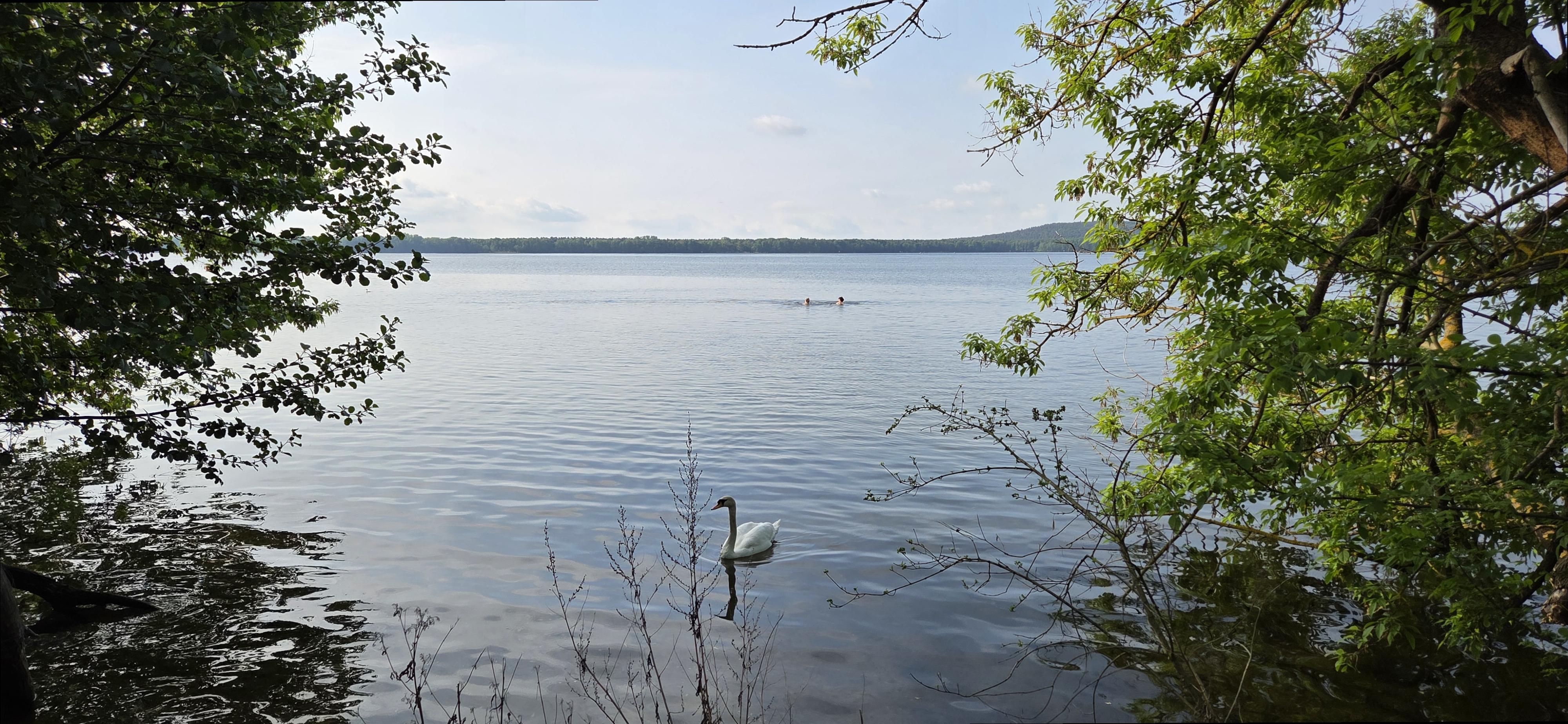
Map of the route “Rahnsdorf, Müggelsee, Dämeritzsee, Flakensee”: 28.90 km, 1,403 m of climbing and 1,402 m of descent, elevation between 55 m and 108 m, time 06:16:30. It is a loop that starts and ends at 52.45174, 13.69146 (latitude, longitude).
Map of the route “Rahnsdorf, Müggelsee, Dämeritzsee, Flakensee”: 28.90 km, 1,403 m of climbing and 1,402 m of descent, elevation between 55 m and 108 m, time 06:16:30. It is a loop that starts and ends at 52.45174, 13.69146 (latitude, longitude).